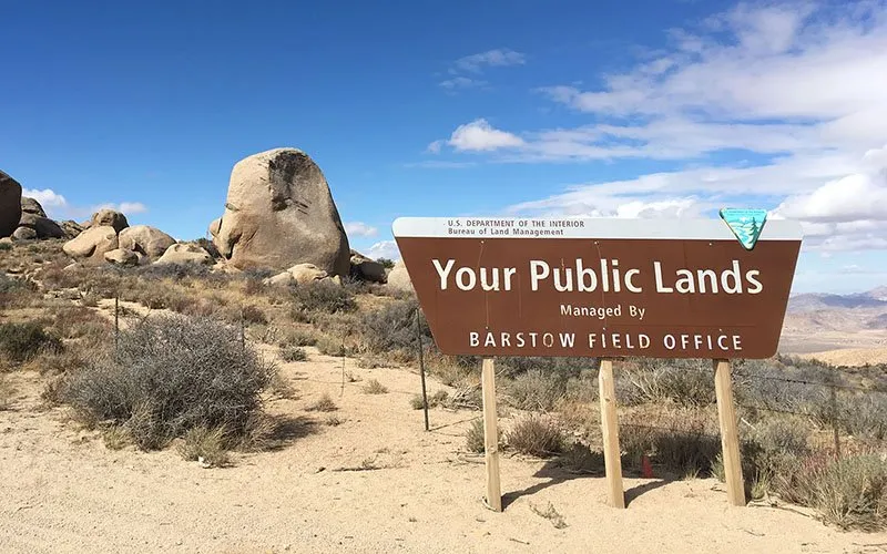
Most western hunters know they can hunt federal land. Fewer know that "federal land" covers two very different systems managed by two different cabinet departments with two different cultures, two different sets of rules, and two very different histories. Getting that distinction wrong costs you access, burns daylight, and leaves good country sitting undiscovered while everyone crowds the same trailheads.
This is the practical breakdown every western hunter needs.
Two Agencies, Two Departments
The Bureau of Land Management sits inside the Department of the Interior alongside the Fish and Wildlife Service and the National Park Service. The U.S. Forest Service sits inside the Department of Agriculture alongside the Natural Resources Conservation Service. That split is not an accident of bureaucracy. It reflects genuinely different mandates.
The Forest Service was created in 1905 under Gifford Pinchot with a "greatest good for the greatest number" timber-and-watershed conservation philosophy. The BLM was not formally organized until 1946, when the Grazing Service merged with the General Land Office. Even then, BLM lacked a formal statutory mission until the Federal Land Policy and Management Act of 1976. Interior and Agriculture disagree internally about priorities often enough that the two agencies sometimes manage neighboring parcels under noticeably different interpretations of "multiple use."
For hunters, that institutional difference shows up in fee structures, permit systems, and how aggressively each agency enforces dispersed camping rules or motorized travel restrictions.
How the Land Got Split Up
Understanding what each agency manages starts with understanding what was left over after westward expansion.
Congress spent most of the 1800s disposing of federal land as fast as possible through homestead acts, railroad grants, and state land grants. The land that got claimed first was the best: river bottoms, valley floors, and productive farmland. What remained unclaimed was the high timbered country and the dry, rocky, remote desert.
Theodore Roosevelt and Pinchot pulled the timbered high country into the National Forest system between 1891 and 1910, protecting watershed and timber supply before it could be logged off by private interests. That act locked up most of the forested mountain country early.
Everything else, the sagebrush basins, the canyon country, the salt desert, the broken lava fields, sat in legal limbo for decades. That is what eventually became BLM. The agency managing it used to joke internally that BLM stood for "Bureau of Leftover Management." The joke has some truth. BLM manages roughly 245 million acres, almost all of it in the West, much of it the terrain no one else wanted.
The practical result: National Forest tends to be forested mountain terrain at elevation. BLM tends to be lower-elevation open country. Both generalizations have big exceptions. The BLM Carson City District in Nevada manages portions above 9,000 feet. The Coconino National Forest in Arizona drops into ponderosa country at 5,500 feet. But the generalization holds well enough to use as a planning shortcut.
Regulations: State Game Law Runs Both
On hunting regulations, the most important rule is this: state game law governs on both BLM and National Forest ground. Your license, tags, legal shooting hours, legal methods, season dates, and bag limits come from the state wildlife agency regardless of which federal land you are standing on. Browse public land unit regulations by state before you assume anything.
Where the agencies differ is in their own land management rules layered on top of state hunting law.
Camping: Both agencies allow dispersed camping outside developed campgrounds, but the rules differ. BLM generally allows 14-day stays in one location before you must move 25 miles. Forest Service rules vary by forest, with some districts enforcing 14-day limits within a broader zone rather than requiring a full 25-mile move. Read the specific forest or district rules before you park a wall tent for three weeks.
Motorized vehicles: Both agencies restrict motorized travel to designated routes, but they use different maps to communicate those routes. BLM uses the Surface Management Status map combined with its own travel management plans. The Forest Service uses the Motor Vehicle Use Map (MVUM). You need both if your hunt crosses both land types, which it usually does in the West.
Special designations: Both agencies manage Wilderness Areas, Areas of Critical Environmental Concern (BLM), Research Natural Areas (USFS), and other overlays that can restrict specific activities. A motorized-access hunter can be shut out of excellent country by a Wilderness designation that appears on no hunting regulation but is plainly marked on the agency map.
Wilderness Areas
Both BLM and National Forest land can include congressionally designated Wilderness. Wilderness Areas ban motorized and mechanized equipment, which means no ATVs, no dirt bikes, no mountain bikes, and in some cases no chainsaws even for downed-tree clearing. Horses and hand tools are allowed.
Wilderness does not close land to hunting. In most cases, state hunting seasons apply normally inside Wilderness boundaries. What changes is how you get in and get your animal out. If you are hunting elk in a BLM Wilderness in central Idaho or a Forest Service Wilderness in the Bob Marshall complex in Montana, you are packing in on foot or horseback, and you are packing your elk out the same way.
For hunters willing to put in the miles, Wilderness often means lower hunting pressure than roaded country immediately outside the boundary. The work is the filter.
National Monuments and Access
National Monuments designated under the Antiquities Act add another layer. Some monuments are managed by BLM, some by the Forest Service, and some split between agencies and the National Park Service.
Hunting access in monuments depends entirely on the specific proclamation. Bears Ears National Monument in Utah, managed jointly by BLM and Forest Service, generally allows hunting under state law. Grand Staircase-Escalante, also BLM in Utah, allows hunting. But some monument proclamations restrict specific activities or create buffer zones around archaeological sites that affect how you can move through the unit.
Before hunting in any area with monument designation, read the proclamation or call the managing field office. Do not assume a monument boundary on a map means no hunting. Do not assume it means unrestricted access either.
Reading a BLM Surface Management Map
The Surface Management Status (SMS) map is the essential skill for western public land hunters. It shows land ownership by color: BLM in yellow, National Forest in green, National Park in dark green, state land in various colors by state, and private in white.
The map is available through the BLM GeoCommunicator platform and is incorporated into onX Hunt, BaseMap, and similar apps. The critical skill is learning to read the checkerboard: alternating sections of federal and private land common in areas where railroad land grants left irregular ownership patterns. A hunter who does not read the map carefully can walk two miles off a trailhead onto private land without realizing it.
The other critical skill is identifying isolated BLM parcels surrounded by private land. These parcels exist across the West, some of them substantial, and most hunters never find them because the obvious approach crosses private. Check BLM parcel records or call the field office to confirm legal access, whether that is a right-of-way, a county road, or a navigable waterway. The hunters who do that work consistently find less-pressured ground.
Reading a Motor Vehicle Use Map (MVUM)
The MVUM is the Forest Service equivalent of BLM's travel management plan. It shows every road and trail in a National Forest color-coded by what vehicles are permitted and during what season. A road that is open to full-size vehicles in summer may be closed from December through April, or open only to vehicles under a certain width.
Download the MVUM for your specific forest district from the Forest Service website before the season. Paper maps are available at ranger district offices. The MVUM does not show land ownership, so you will need it alongside a surface management map in checkerboard country.
Where to Camp Legally
Both land types allow dispersed camping in most areas, but the practical differences matter.
On BLM, look for the travel plan for the specific field office area. In Nevada, Utah, Wyoming, and Montana, enormous stretches of BLM are wide open to dispersed camping anywhere off a designated route, with no permit required. Some popular areas, like the BLM land around Moab or the Arizona Strip, have corridor rules that restrict how close to roads you can camp.
On National Forest, some forests require a fire permit during high fire danger periods. Others have campfire bans by elevation zone during dry years. A few high-use forests near population centers now require camping permits in specific zones. The specific forest website and the ranger district are the right sources, not generalized Forest Service guidance.
The Overlooked BLM Parcels
The single highest-value habit a public land hunter can develop is systematically checking for isolated BLM parcels in units where the conventional wisdom says "it's all private." In many states, the BLM checkerboard left significant public ground scattered across valleys that look private on a casual glance.
Utah's West Desert, parts of Nevada's Ruby Valley, central Oregon's high desert, and southeastern Montana all have BLM parcels that see minimal hunting pressure not because the hunting is poor but because most hunters never verify the access. A county road running through private that also provides legal access to a BLM parcel is worth an hour of research and a phone call to the field office.
Discuss access strategies and share intel on the forum. Other hunters have done the legwork and are often willing to point you in a direction.
The Bottom Line
BLM and National Forest are not interchangeable. They have different histories, different terrain tendencies, different rule sets, and different maps. A hunter who treats them as the same thing is leaving country undiscovered and making avoidable mistakes on motorized access and camping rules.
Learn both systems. Read the surface management map. Download the MVUM. Call the field office when you are uncertain. The hunters who consistently find less-pressured public land are not lucky. They did the homework.
Browse public land hunting units by state and explore the forum to connect with hunters who know the ground.
Key resources: